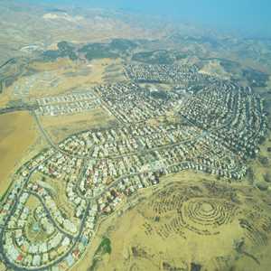
 | Meitar (Hebrew: מֵיתָר) is a small local council north-east of Beersheba, in Israel's Southern District. The town lies on Highway 60 just south of the Green Line on the southern edge of Mount Hebron, alongside the Yatir Forest. Metar is 19 km north of Beer-Sheva and is in between the two Bedouin towns of Hura and Laqiya. In 2017 it had a population of 7,749. With a land area of 16,696 dunams (~16.7 km²), Meitar is ranked very highly on the Israeli socio-economic scale, with a score of 9/10.
wikipedia.org |
|