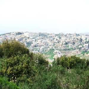
 | Kaukab Abu al-Hija (Arabic: كوكب أبو الهيجا ; Hebrew: כַּוּכַּבּ אַבּוּ אל-הִיגַ'א), often simply Kaukab, (meaning "star" in Arabic), is an Arab Muslim village and local council in the Northern District of Israel, in the Lower Galilee. It is located on Road 784, between Shefa-'Amr and Karmiel, and north of Kafr Manda. Kaukab was historically under the control of the Abu al-Hija family of the Galilee. In 2017 it had a population of 3,458, and in 2008 was ranked low (3/10) on the Israeli
wikipedia.org |
|